GPS Altimeter Altitude Map
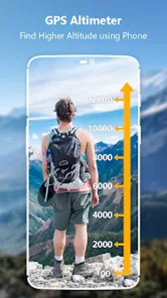
GPS Altimeter Altitude Map is a handy Android application designed for adventure seekers who enjoy outdoor activities such as hiking, skiing, mountain biking, and rock climbing. This smart tracking device allows users to measure their altitude above sea level at their current location or any location on Earth with high precision. With GPS Altimeter Altitude Map, users can easily check their altitude, elevation, latitude, longitude, direction, and localization coordinates. Whether you're at the top of a mountain and want to know your altitude or halfway up and need to know how far to go, this app is the perfect travel partner.
Top Recommended Alternative
Key features of GPS Altimeter Altitude Map include an accurate altimeter barometer app that measures elevation above sea level, GPS location, and localization coordinates. The app can also save the history of altitudes, allowing users to track and record their elevation changes over time. In addition, GPS Altimeter Altitude Map provides various map modes, including GPS map and offline map, as well as a GPS compass for accurate direction and a bubble level for precise leveling.
Overall, GPS Altimeter Altitude Map is a reliable and comprehensive tool for outdoor enthusiasts, providing them with accurate altitude measurements and essential features for their adventures.